plainview
Plot Raster Images Interactively on a Plain HTML Canvas
Provides methods for plotting potentially large (raster) images interactively on a plain HTML canvas. In contrast to package 'mapview' data are plotted without background map, but data can be projected to any spatial coordinate reference system. Supports plotting of classes 'RasterLayer', 'RasterStack', 'RasterBrick' (from package 'raster') as well as 'png' files located on disk. Interactivity includes zooming, panning, and mouse location information. In case of multi-layer 'RasterStacks' or 'RasterBricks', RGB image plots are created (similar to 'raster::plotRGB' - but interactive).
plainview - Interactively Explore (Raster)Images

plainview enables interactive exploration of (raster)images. Images
will be rendered on a plain HTML canvas (hence the name of the package).
For spatial data this means that rendering is not restricted to a
certain projection (e.g. web mercator for leaflet or mapview) but
rendering is projection independent. It also means that it is possible
to plot large images made up of millions of pixels.
Installation
You can install the released version of plainview from
CRAN with:
install.packages("plainview")
Example
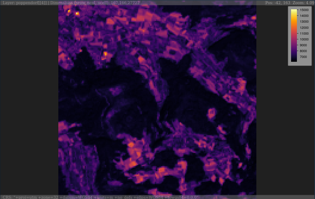
# RasterLayer
plainView(poppendorf[[4]])
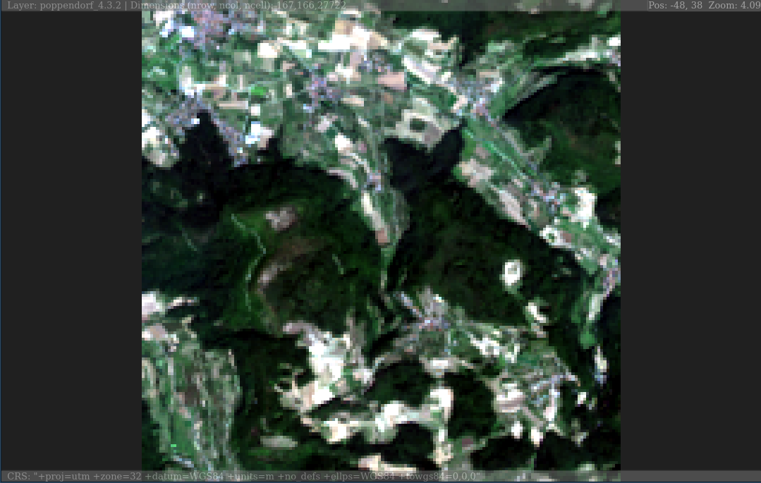
# RasterStack
plainview(poppendorf, r = 4, g = 3, b = 2) # true color
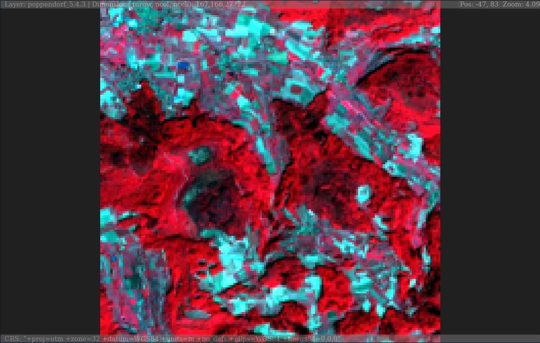
plainview(poppendorf, r = 5, g = 4, b = 3) # false color
Code of Conduct
Please note that the ‘plainview’ project is released with a Contributor Code of Conduct. By participating in this project you agree to abide by its terms.