Poly4AT
Access 'INVEKOS' API for Field Polygons
A 'shiny' app that allows to access and use the 'INVEKOS' API for field polygons in Austria. API documentation is available at < https://gis.lfrz.gv.at/api/geodata/i009501/ogc/features/v1/>.
Poly4AT
The goal of Poly4AT is to provide user-friendly access to the INVEKOS API for retrieving and interacting with field parcel polygons. The application simplifies querying geographic data, allowing users to easily obtain polygon information based on coordinates, even without programming skills.
Installation
Install the following packages if they are not already installed.
# install.packages(c("shiny", "sf", "leaflet", "geojsonsf", "httr", "jsonlite", "shinydashboard", "DT, "leaflet.extras"))
You can install the development version of Poly4AT from GitHub with:
# install.packages("devtools")
devtools::install_github("farmse988/Poly4AT")
You can install Poly4AT via CRAN
install.packages("Poly4AT")
Usage
Loading the Package
First, load the Poly4AT package:
library(Poly4AT)
Start the Shiny Application
To start the Shiny application, simply run:
poly4AT_processor()
Example: Entering a Single Coordinate
You can enter a single coordinate within the borders of Austria:
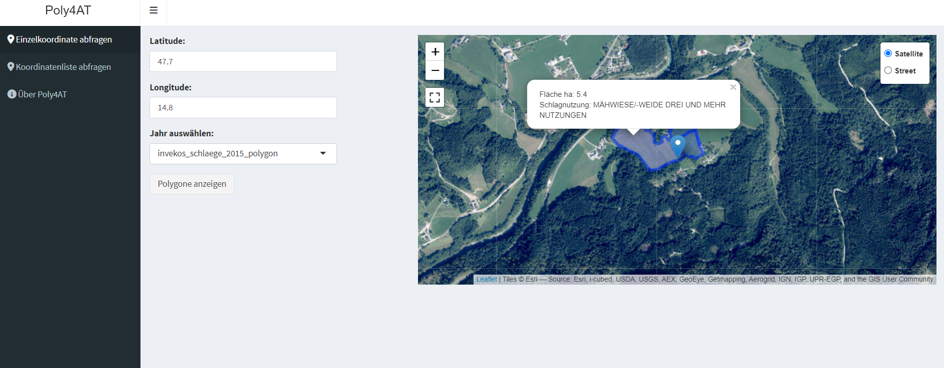 request single coordinate
Example: Uploading Multiple Coordinates
You can upload multiple coordinates to the server and request polygons:
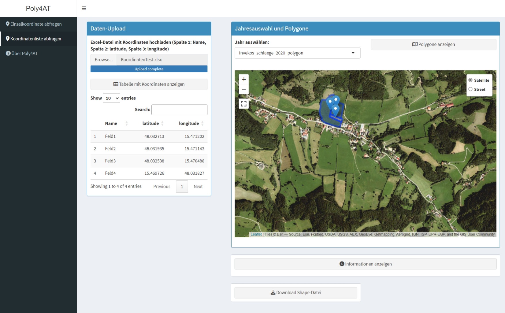 request multiple polygons
Citation:
citation("Poly4AT")
#> Um Paket 'Poly4AT' in Publikationen zu zitieren, nutzen Sie bitte:
#>
#>   Wieser S (2024). _Poly4AT: Access INVEKOS API for Field Polygons_. R
#>   package version 1.0, <https://github.com/farmse988/Poly4AT>.
#>
#> Ein BibTeX-Eintrag für LaTeX-Benutzer ist
#>
#>   @Manual{,
#>     title = {Poly4AT: Access INVEKOS API for Field Polygons},
#>     author = {Sebastian Wieser},
#>     year = {2024},
#>     note = {R package version 1.0},
#>     url = {https://github.com/farmse988/Poly4AT},
#>   }
Citation for API Data
AMA. (year of request). OGC Features API.requested on [dd.mm.yyyy], from https://gis.lfrz.gv.at/api/geodata/i009501/ogc/features/v1/
Language
The user interface (UI) of Poly4AT is in German, while the documentation and examples are in English. This ensures a user-friendly experience for German-speaking users and at the same time comprehensive information for international users.