nswgeo
Geospatial Data and Maps for New South Wales, Australia
Geospatial data for creating maps of New South Wales (NSW), Australia, and some helpers to work with common problems like normalising postcodes. Registers its data with 'cartographer'.
nswgeo

A collection of geospatial datasets and map plotting helpers for working
with New South Wales maps. The maps are registered with
{cartographer}. This package is not an official publication, merely a
collection of handy data from public sources.
Installation
You can install nswgeo like so:
# CRAN release
install.packages('nswgeo')

# development version
install.packages('nswgeo', repos = c('https://cidm-ph.r-universe.dev', 'https://cloud.r-project.org'))
Examples
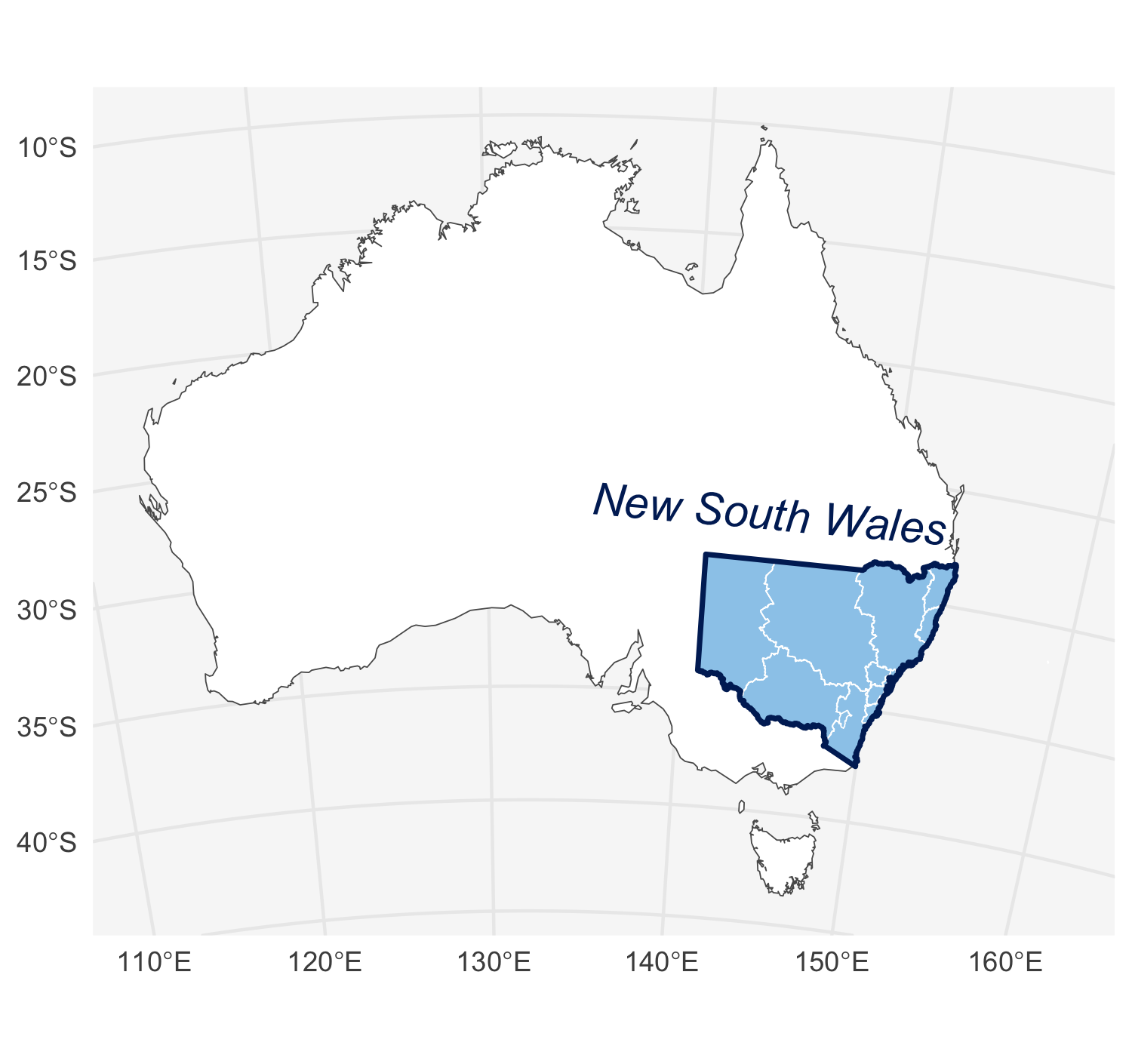
The data can be used directly with ggplot:
library(nswgeo)
library(ggplot2)

ggplot(nswgeo::nsw) +
  geom_sf(fill = "white", data = nswgeo::australia) +
  geom_sf(fill = "#9BCBEB", colour = NA) +
  geom_sf(fill = NA, colour = "white", data = nswgeo::lhd) +
  geom_sf(fill = NA, colour = "#002664", linewidth = .8) +
  annotate(
    "text", x = 144, y = -27, label = "New South Wales",
    angle = -5, size = 5, fontface = "italic", colour = "#002664"
  ) +
  coord_sf(crs = crs_gda2020_albers(), default_crs = crs_gda2020()) +
  theme_minimal() +
  theme(
    panel.background = element_rect(fill = "grey97", colour = NA),
    axis.title = element_blank(),
  )
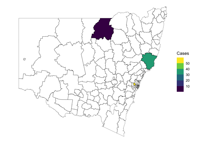
Alternatively, the data can be accessed through {cartographer}:
library(cartographer)
head(covid_cases_nsw)
#> # A tibble: 6 × 5
#>   postcode lga       lhd                 year type
#>   <chr>    <chr>     <chr>              <int> <chr>
#> 1 2428     Mid-Coast Hunter New England  2022 A
#> 2 2761     Blacktown Western Sydney      2021 A
#> 3 2426     Mid-Coast Hunter New England  2022 B
#> 4 2324     Mid-Coast Hunter New England  2022 B
#> 5 2767     Blacktown Western Sydney      2021 A
#> 6 2427     Mid-Coast Hunter New England  2022 A

covid_cases_nsw |>
  dplyr::count(lga) |>
  add_geometry(lga, feature_type = "nswgeo.lga") |>
  ggplot() +
  geom_sf(aes(fill = n)) +
  geom_sf(fill = NA, data = map_sf("nswgeo.lga")) +
  scale_fill_viridis_b("Cases") +
  theme_void()
A note on resolution
Some of the source datasets are very high resolution and would make this
package too large if they were bundled. Accordingly, most data has been
processed to reduce the resolution. You can see exactly what was done by
looking at the scripts in data-raw/, which also help to download
source data.
If you need higher resolution shapes, such as when zooming into specific postal areas, you’re better off using the original datasets directly.
Other Australian data
strayrhelps with working with data from the Australian Bureau of Statistics (ABS).absmapsdatacontains some processed ABS geospatial data.